
Snow-way: Up to 50 cm forecast in Alberta on first day of spring

Alberta residents know the start of spring sure does not mean sunshine and rainbows, with some parts of the province forecast to see up to 50 centimetres of snow.
A snowfall warning is in effect from Environment and Climate Change Canada (ECCC) for a strip of western northern Alberta, with heavy snowfall expected today, with total amounts near 15 cm.
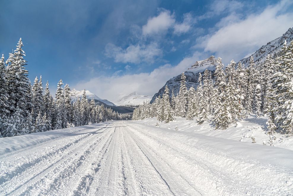
The heavier amounts of snowfall in the province are expected over sections of the Icefields Parkway in the Rockies, with ECCC noting that snowfall amounts will be highly variable.
At elevations above 1800 m, another 30 to 50 cm can be expected by Saturday morning, with the highest accumulations likely south of Saskatchewan River Crossing before snow tapering off to flurries by tomorrow night.
“Travel will likely be challenging. Visibility will likely be reduced at times. Road closures are possible. Prepare for quickly changing and deteriorating travel conditions,” the ECCC warning added.
Some live cameras of the Jasper Skytram and Banff Gondola showed a good amount of powder accumulating in the area. Live cameras of Banff Sunshine Village also showed folks enjoying some fresh snow.
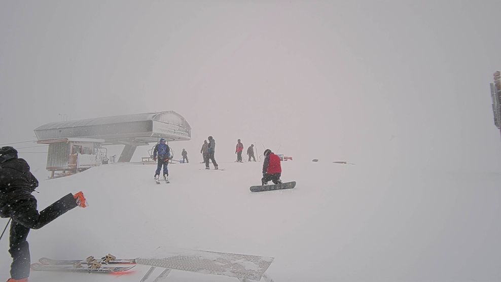
Banff Sunshine
Lighter snow also greeted the Edmonton region, with periods of rain mixed with snow in the forecast for the first day of spring, with two to four centimetres of snow anticipated this evening before tapering off.
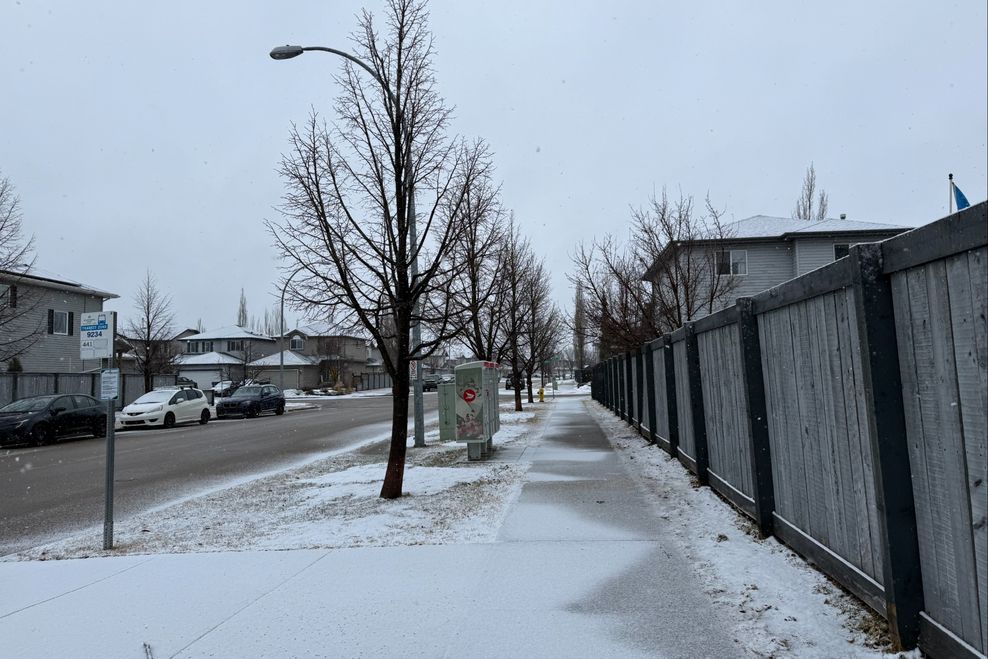
Laine Mitchell/Daily Hive
Alberta’s other major city, Calgary, is seeing a dreary start to spring, but luckily, no snow is in the forecast for today, with a fog advisory currently in effect.
It’s also a pretty gross start to spring across Western Canada, with parts of Metro Vancouver under the gun of a prolonged atmospheric river event that could dump 80 to 130 mm of rain by late this afternoon.
You can view all active watches and warnings issued by ECCC online.
Are you seeing snow in your area in Alberta? Let us know in the comments.